
← All services
Service 05
StockpileMeasurements & Mapping
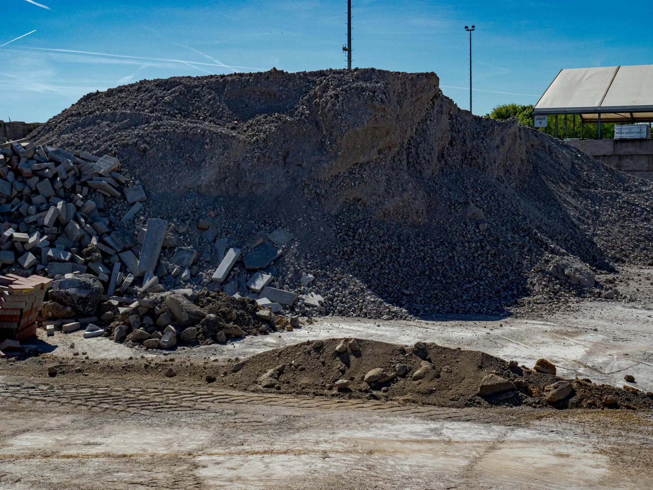
Survey flights that turn a site into volume figures, orthomosaics, and contour maps, in a format you can hand straight to an engineer.
 Chat with Me
What you get
A site turned into
numbers.
Survey-grade data back quickly, in formats your engineer can use directly, without shutting the site down to get it.
- Volume figuresSurvey flights turned into stockpile volumes you can act on.
- Orthomosaics & contoursMaps delivered in formats an engineer can drop straight into their workflow.
- Fast turnaroundData back quickly, captured without stopping the site.